Regional LiDAR Capture
In conjunction with Land Information NZ, BOPLASS councils have collaborated to complete a region-wide five-year plan for LiDAR (Light Detection and Ranging) capture across the Bay of Plenty region.
LiDAR is a technology using laser sensors mounted on aircraft that fly over a landscape to capture a 3D view of the land.
The sensor measures the time it takes for light to travel back and forth from the sensor to the ground. Because the sensor can rapidly pulse a laser beam, it can capture a ‘point cloud’ of highly accurate 3D measurements – like a digital twin of the landscape.
How is this data used in NZ?
This data represents a wealth of information that can help us understand our land, boost economic performance and improve our resilience to hazards and climate change. Below are some examples of uses.
Natural Hazards
New Zealand knows all about natural hazards. LiDAR can be extremely useful in understanding and improving our resilience to hazards.
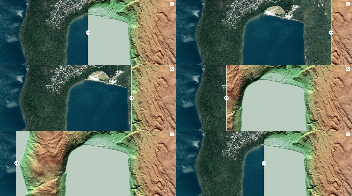
Earthquake faults can often be seen directly from LiDAR data and it can help us understand our dynamic landscape. The slider below reveals the Wairau fault in the Tasman region of NZ, otherwise hidden by dense vegetation.

Caption: Aerial imagery (left) compared with a LiDAR-derived relief map of the same area (right).
On the relief map, the fault is startingly visible, running at an angle across the landscape.
Image provided by Toitū Te Whenua, Land Information New Zealand